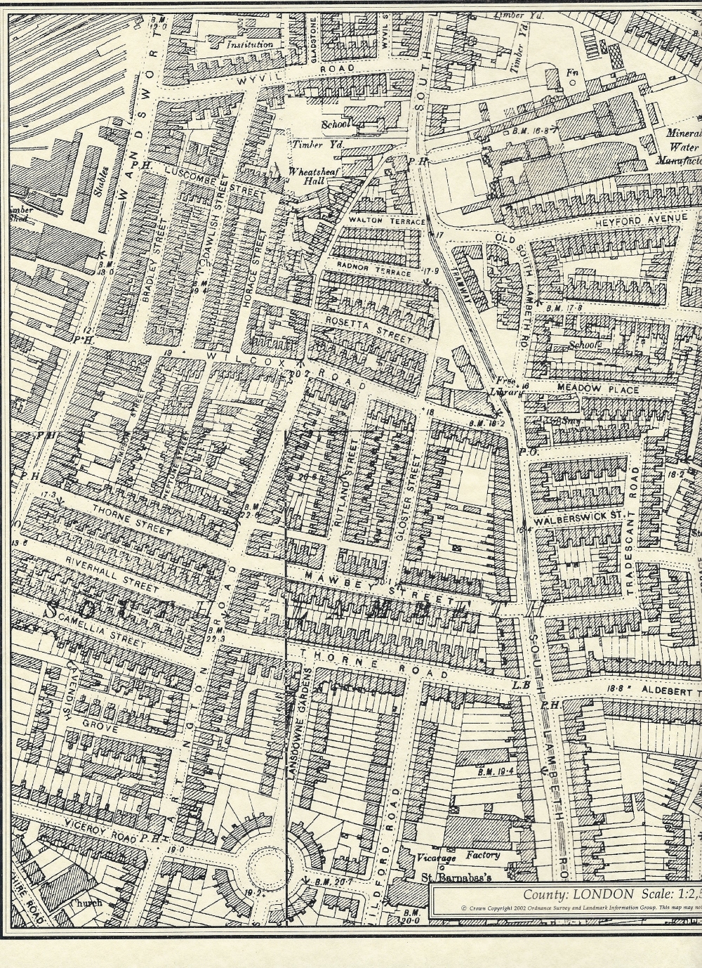
Tradescant Road, Walberswick Street, Meadow Place, Old South Lambeth Road, Heyford Terrace, Heyford Avenue, and the western end of Dorset Road in London SW8
Old maps
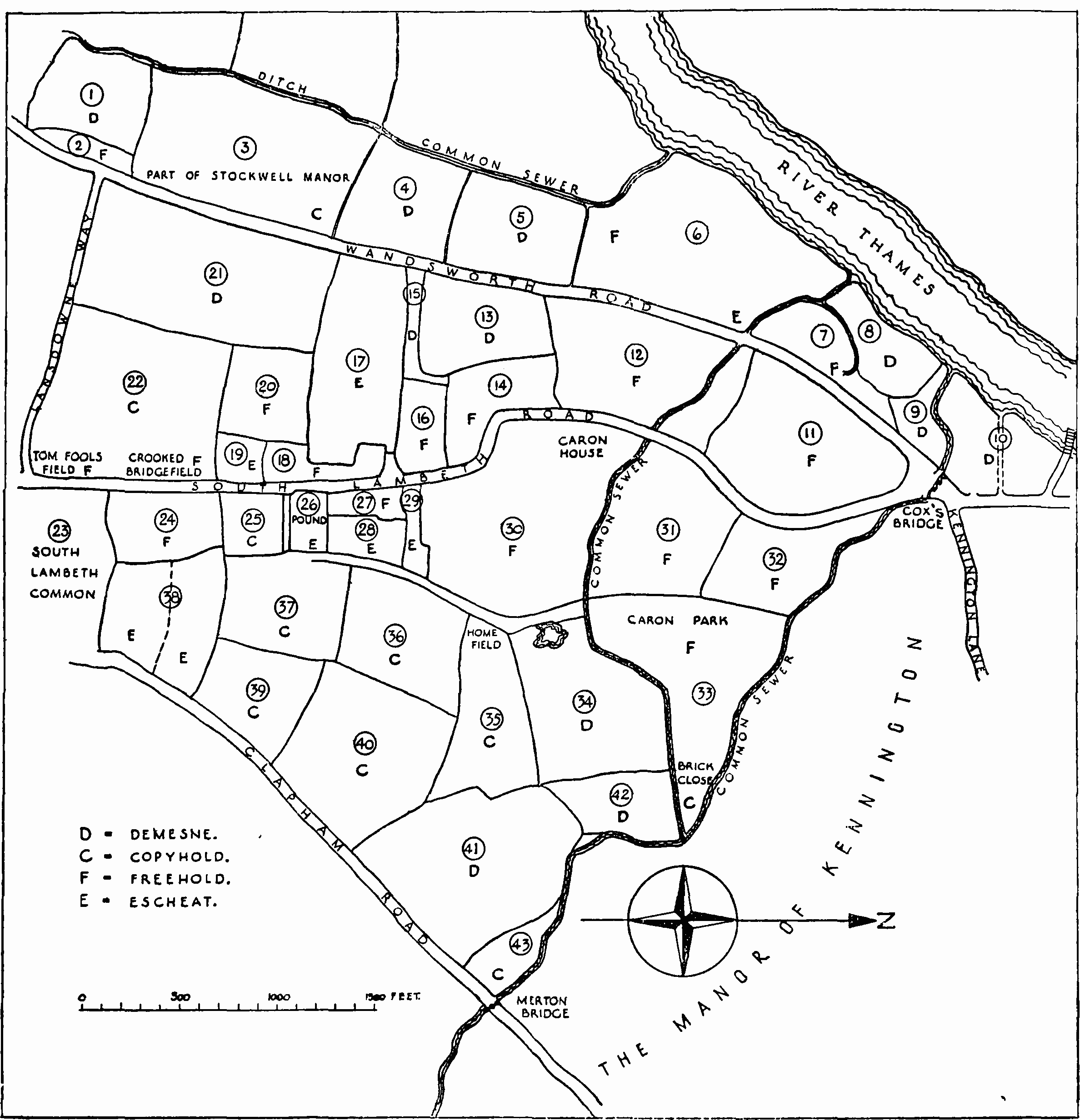
1681
Map of Vauxhall Manors based on one drawn by Thomas Hill in 1681. From ‘Vauxhall and South Lambeth: Introduction and Vauxhall Manor’, in Survey of London: Volume 26, Lambeth: Southern Area, ed. F H W Sheppard (London, 1956), pp. 57-59. British History Online http://www.british-history.ac.uk/survey-london/vol26/pp57-59
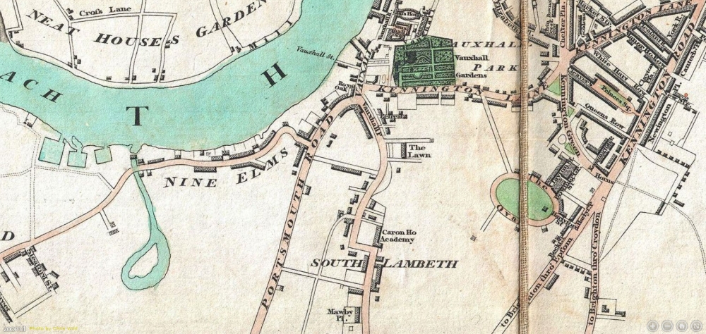
1792-99
Richard Horwood’s “PLAN of the Cities of LONDON and WESTMINSTER the Borough of SOUTHWARK, and PARTS adjoining Shewing every HOUSE” – produced between 1792 and 1799.
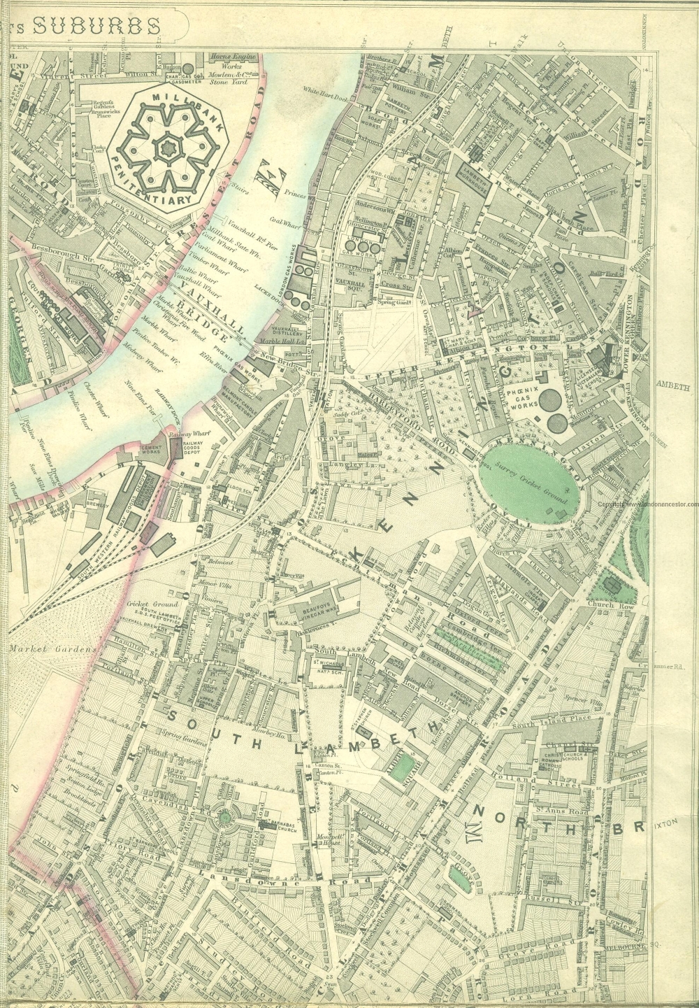
1806
From Edward Mogg’s 1806 case map of London.
1824-26
Map of London based on a survey made during the period 1824-26. Cartographers: Christopher and John Greenwood,
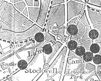
1848 (?)
1857 – London toll gates
1857 London Toll Gates – looks like there was one right here!
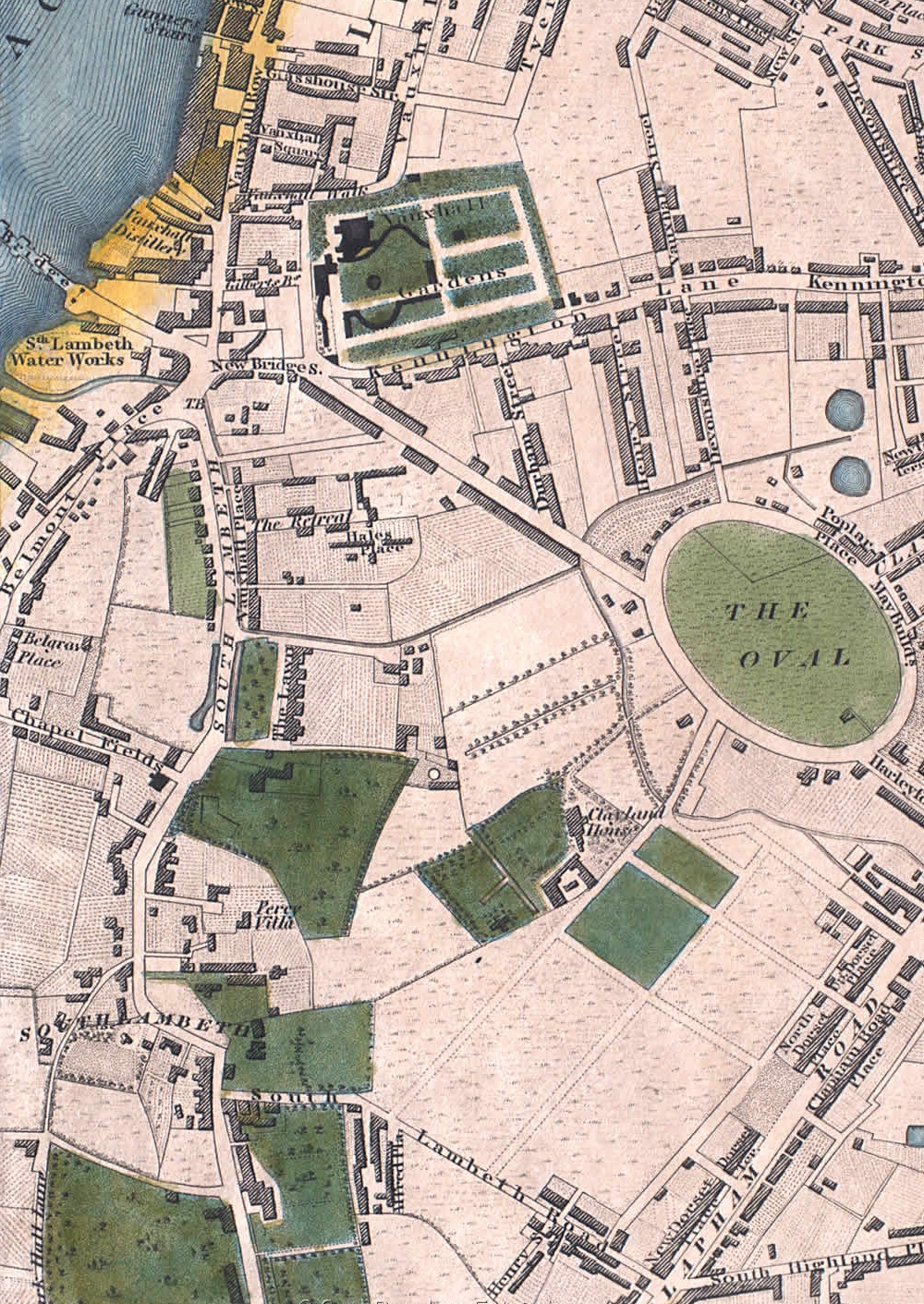
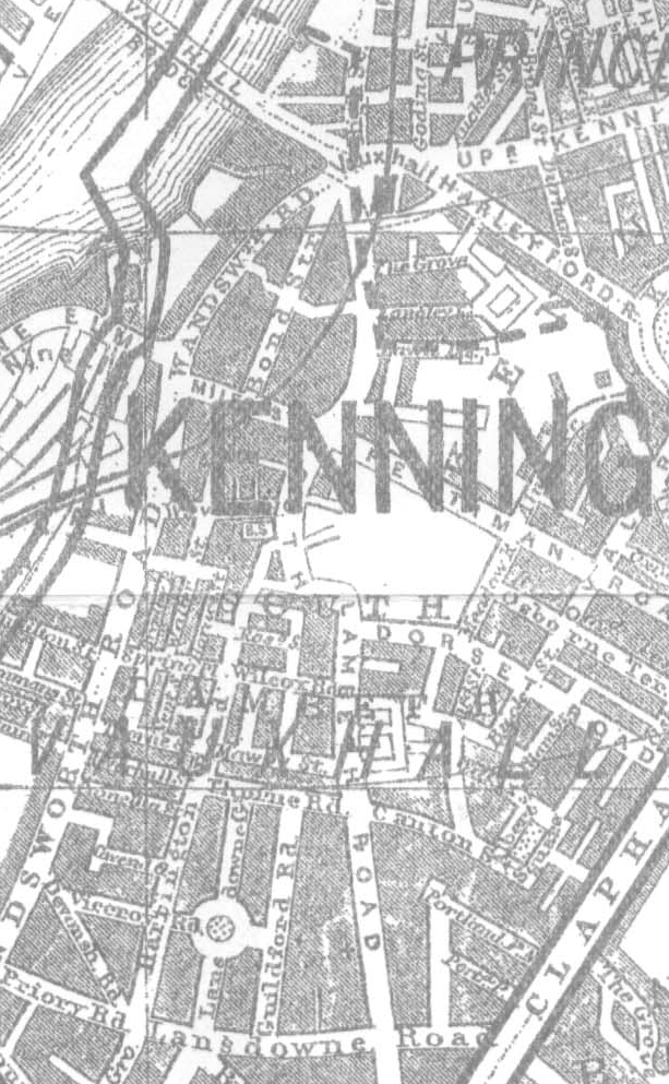
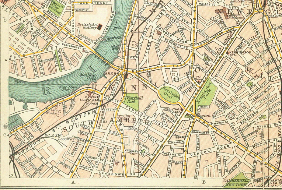
1862-71
Map of London, 1862 – 1871 by Edward Stanford
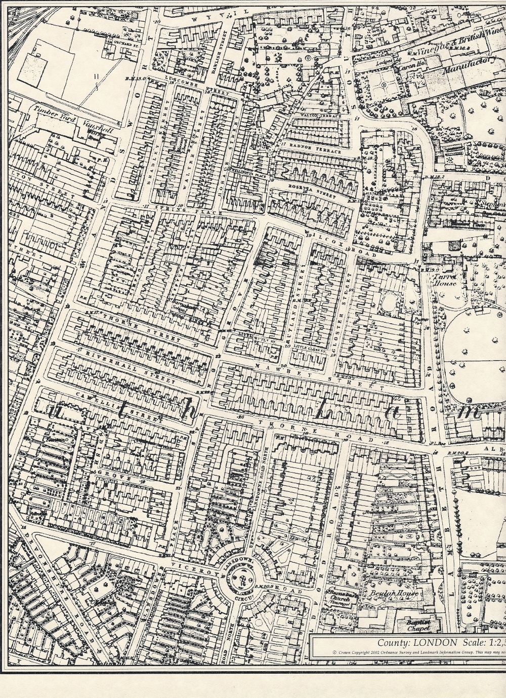
1874
1874 Ordnance Survey map
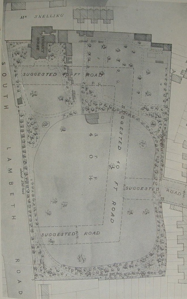
1880 – suggested outline for what would be Tradescant Street
(renamed Tradescant Road in 1911)
1880 – Suggested outline plan of what would be Tradescant Street (Tradescant Road from 1911). This map comes from a book called The Tradescants by Mea Allan. Caption reads: “The Tradescants’ garden in Lambeth as it was in 1880. Their home, then called Turret House, was demolished the following year and the land broken up for development. Of the suggested roads, one was named Tradescant Road, another Walberswick Street in memory of the family’s Suffolk relatives, Thomas and Robert Tradescant to whom John the younger left legacies.”
To see where the streets were actually built in relation to Turret House and gardens, see our Before and After page.
Key: BLACK – Total destruction PURPLE – Damaged beyond repair DARK RED – Seriously damaged; doubtful if repairable LIGHT RED – Seriously damaged; but repairable at cost ORANGE – General blast damage; not structural YELLOW – Blast damage; minor in nature LIGHT GREEN or LIGHT BLUE – Clearance areas SMALL CIRCLE – V-2 Rocket LARGE CIRCLE – V-1 Flying Bomb
Like every other site ever in the history of the internet TARA uses cookies but if you're not OK with this for some reason, you can opt out.AcceptRejectRead More
Privacy & Cookies Policy
Privacy Overview
This website uses cookies to improve your experience while you navigate through the website. Out of these, the cookies that are categorized as necessary are stored on your browser as they are essential for the working of basic functionalities of the website. We also use third-party cookies that help us analyze and understand how you use this website. These cookies will be stored in your browser only with your consent. You also have the option to opt-out of these cookies. But opting out of some of these cookies may affect your browsing experience.
Necessary cookies are absolutely essential for the website to function properly. This category only includes cookies that ensures basic functionalities and security features of the website. These cookies do not store any personal information.
Any cookies that may not be particularly necessary for the website to function and is used specifically to collect user personal data via analytics, ads, other embedded contents are termed as non-necessary cookies. It is mandatory to procure user consent prior to running these cookies on your website.